European Infrastructure Surveys: Trans-Corridor Network Stewardship
From the Rhine-Alpine freight route to the Scandinavian-Mediterranean axis, we orchestrate harmonized, large-scale survey campaigns across cross-border railway viaducts, highway bridges, and navigable waterways.
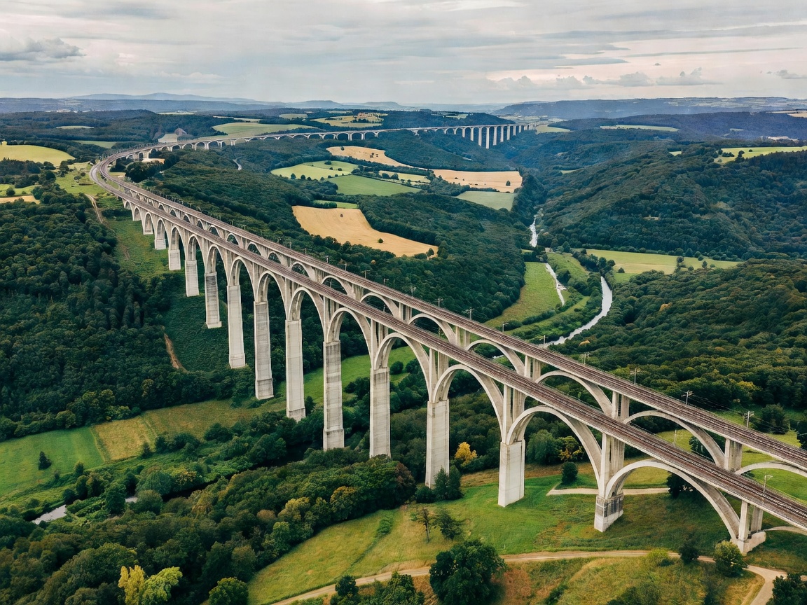
Harmonising Asset Data Across European Borders
Europe's economic vitality depends on the seamless flow of goods along the Trans-European Transport Network (TEN-T). However, when a freight train travels from Rotterdam through Germany, Switzerland, and into Northern Italy, it crosses bridges maintained under four completely different national inspection standards, varying asset recording ontologies, and divergent safety factor conventions.
Our European infrastructure surveys bridge these national divides. We bring a unified engineering lens to regional bridge portfolios, calibrating data across diverse standards such as Germany's DIN 1076, France's ITSEPOA directives, and standard Eurocodes (EN 1990 to EN 1999). We reconcile different defect classification rubrics into an auditable, interoperable asset dataset that enables international concessionaires, rail authorities, and financing institutions to compare bridge risks across international boundaries on an identical mathematical baseline.
Specialised Survey Scenarios in European Environments
Across the continent, different geographical zones introduce extreme environmental loads that demand custom survey methodologies:
- Alpine Valley High Viaducts: Structures spanning deep mountain valleys face severe freeze-thaw thermal cycles, extreme wind shear vortexes, and heavy avalanche or landslide debris pressures against pier stems. We deploy terrestrial 3D LiDAR scanning to verify pier verticality and detect microscopic thermal displacements of long-span continuous decks.
- Major Navigable River Crossings (Danube, Rhine, Elbe): Bridges crossing inland commercial shipping lanes are at continuous risk of vessel collision. Our surveys combine underwater multi-beam sonar bathymetry to monitor pier scour pockets with structural impact assessments of sacrificial fender dolphin piles.
- High-Speed Rail Viaducts: Carrying trains at 300 km/h induces extreme high-frequency dynamic resonance, cyclic ballast pulverization, and intense track-structure interaction (TSI). We monitor expansion joints and rail transition zones to ensure dynamic stiffness tolerances remain within strict fractions of a millimetre.
- Coastal Estuary Crossings: Marine fog and saline wind spray accelerate atmospheric steel pitting and concrete cover desiccation. We execute comprehensive resistivity and galvanic potential mappings along windward deck faces.
On continuous high-speed rail bridges, longitudinal thermal movements of the bridge deck induce axial stresses in the continuously welded rails (CWR) resting above. If bridge bearings stick or rail expansion devices bind, rail buckling or rail tension fracture can occur during rapid seasonal temperature swings. Our surveys map bridge deck thermal response against rail stress data.
Multi-Asset Portfolio Survey Workflows
Surveying hundreds of bridge assets along an entire 500-kilometre corridor requires disciplined mobilization and logistics management:
| Corridor Phase | Engineering Focus | Technology Deployed | Standard Deliverable |
|---|---|---|---|
| Phase I: Macro Scan | Portfolio-wide clearance & alignment | Mobile laser mapping (LiDAR) & high-res photogrammetry | 3D spatial point cloud & geometric collision clearance model |
| Phase II: Baseline Audit | Individual bridge condition indexing | Tactile close-up & ultrasonic NDT | Standardised component health score & defect catalogue |
| Phase III: Sub-Aquatic | Pier foundation & scour monitoring | High-resolution side-scan sonar & dive teams | Riverbed bathymetry contour map vs original footing drawings |
| Phase IV: Dynamic Health | Resonance & live-load strain response | Wireless tri-axial accelerometers & strain gauges | Modal frequency response report & damping factor validation |
Cross-Border Survey Governance
Executing surveys across multiple jurisdictions requires tight adherence to local permit systems, environmental protection regulations, and railway safety track certifications:
- Pre-negotiated safety accreditations across European rail infrastructure operators.
- Synchronised waterway navigation advisories issued in cooperation with national river transport boards.
- Adherence to strict environmental containment protocols when inspecting bridges over Natura 2000 nature reserves.
- Spatial tagging linked to European Terrestrial Reference System (ETRS89) coordinates for flawless geographic information system (GIS) compatibility.